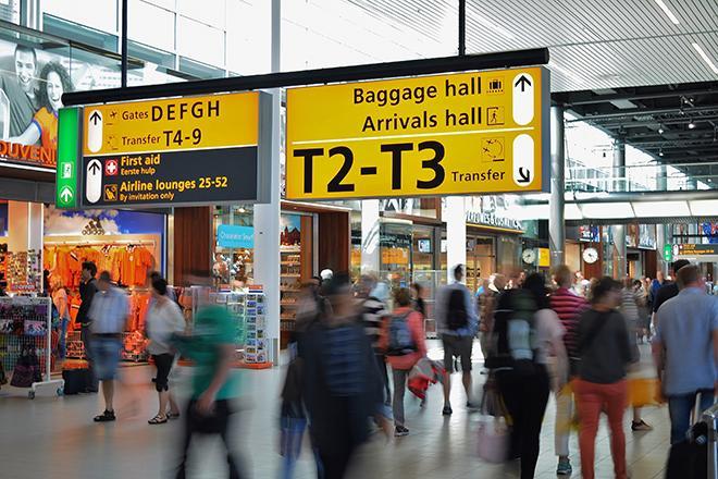
How would you like to travel to new places while collaborating on a geospatial data challenge with students from around the world? In this class, students collaborate on a global-scale geospatial analysis problem with a focus on data analytics and professional practice in Geographic Information Systems. Penn State MGIS students collaborate with graduate students from ITC - University of Twente in Enschede, Netherlands to develop solutions to analyze spatio-temporal patterns in refugee migration data. Students have the opportunity to present their work and develop new connections with EU geospatial professionals via site visits to European national mapping agencies. Students work in teams to use geospatial analytics to arrive at a solution to visualize patterns over space and time.
At a Glance
Details
| Credits |
3.00
|
|---|---|
| Topics |
Applications in GIS
Fundamentals of GIS and Mapmaking
|
| Technologies |
ArcGIS Online
ArcGIS Pro
D3
HTML
Javascript
R
Tableau
|
| Syllabus | GEOG 597G Sample Syllabus |
| Open Educational Course Materials (OER) | Browse free materials for
GEOG 597G
|