Our Faculty
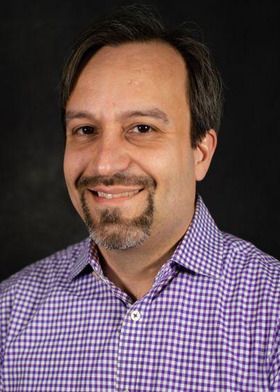
I am a cartographer who focuses on improving the utility and usability of geographic information through the development of user-centered visualization systems and methods.
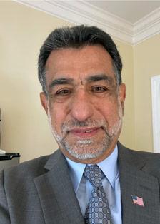
I am Vice President and Chief Scientist for Woolpert, Inc., where I am responsible for designing and managing strategic programs to develop and implement new remote sensing technologies.
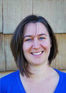
I have an abiding interest in spatial relationships and the technologies that provide deep analysis, and I interact with spatial, social, and technological relationships daily.
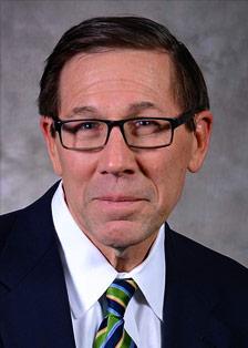
My primary focus is teaching geospatial analysts. As such, I maintain an active research program aimed at improving the education and professional preparation of the analyst.
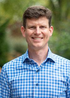
In addition to teaching, I engage in research on agricultural land use and energy production and lead the development of large spatial data management systems and online data access portals.

I am a geographer and GIScientist with an interest in spatial data analysis, spatial statistics and quantitative modeling. My work integrates GIScience technologies and quantitative methods to quantify and model landscape patterns.
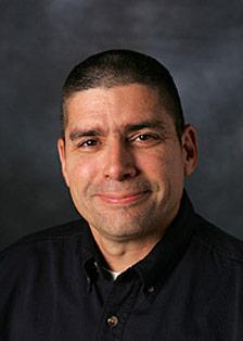
I love teaching geographic foundations of geospatial intelligence. I’ll learn as much from you as you’ll learn from me. We’ll learn together.
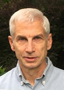
I work with GIS and IT assessment, planning, and implementation assistance. I provide consulting, advisory, and project management services to clients in government and the private sector.
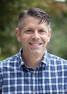
I specialize in geospatial programming and web map development and am particularly interested in the application of geospatial technology to weather- and climate-related projects.
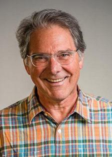
I am an educator and lifelong student of the "Geospatial Technology Industry." I founded the Penn State World Campus online certificate and master’s degree programs in GIS.

I seek to connect remote sensing and geospatial data to important challenges of our nation and world.
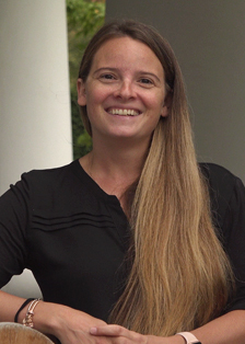
I am a climate change hydrologist and GIS analyst with a research focus on evaluating climate change’s historical and future impacts on surface streamflow and climate variables.
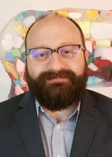
My interests lie at the intersection of Economic Geography, Strategic Management, and Social Networks and the relationship between organizational and physical and/or social network space.
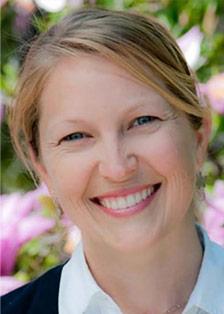
I am interested in geography and environmental education, urban planning, and the design and use of public parks and spaces. I am a former urban planner with experience in several US states.
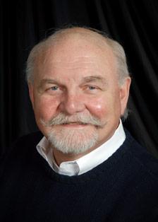
Although I have a U.S. Defense Dept. background, I'm interested in all aspects and applications of geospatial intelligence.
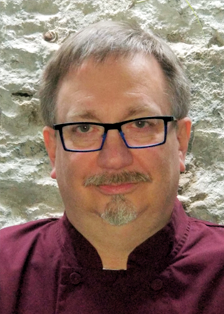
Karl is a long-standing and active member of ASPRS and currently serves as the Chair of the Lidar Certification Review Committee. He has been a contributor to major industry publications and has conducted innumerable workshops and classes in lidar in both the public and private sectors.
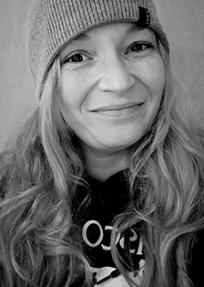
My research interests span far and wide, and cartography allows me the latitude to creatively engage with these interests with others. My passion work centers human—primarily children’s—experiences in the world.
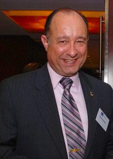
My interests are in law enforcement intelligence, homeland security, and national security

I am a highly interdisciplinary human geographer applying Geospatial Intelligence to Life Sciences and Business Challenges.
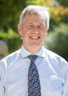
My academic interests fall in the realm of cartography. Specifically, I am interested in datums and map projections.
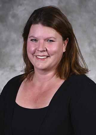
I am a geospatial analyst experienced with GIS in utility mapping and rural addressing. I am interested in projects that use geospatial knowledge and tools to solve problems internationally.
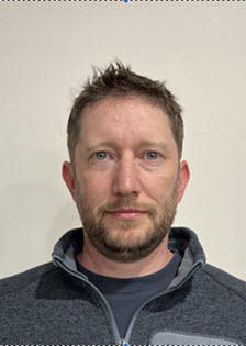
My interests lie in GIS development and utilizing various programming languages to create custom software and data ETL processes for both spatial and non-spatial applications.
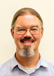
I am interested in expanding the use of GIS and other technologies, streamlining tasks through automation for efficiency and accuracy, and increasing data accessibility for non-GIS users.
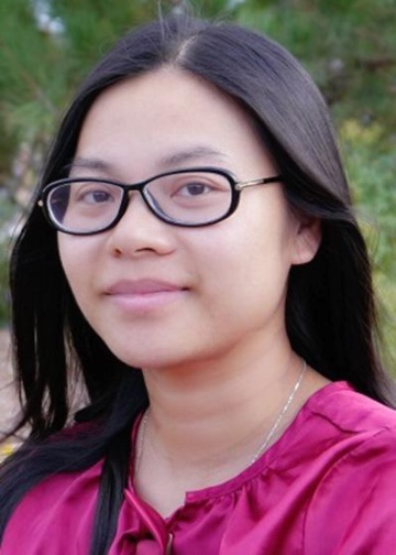
I am interested in understanding the relationships among human health, social dynamics, and environmental factors using GIScience, spatial analysis and statistics, and community-based research principles and methodologies.

I enjoy working at the intersection of art and science, building interactive geospatial data visualization interfaces to facilitate analysis by the research community and to communicate that research to a broader audience.
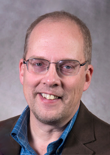
I am dedicated to the application and advancement of geospatial technology, in the earth and environmental sciences, for the betterment of our society
and our planet.
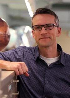
My diverse interests span the fields of GIScience and remote sensing, historical cartography, landscape ecology and conservation, human geography and mapping, and academic librarianship.

My research interests include high spatial resolution multi-sensor remote sensing, GEOBIA, UAV mapping applications and modeling of Earth surface processes.
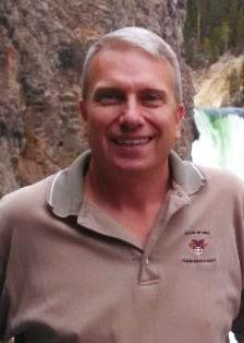
I have certification and solid experience in geodesy, cartography, cultural and political geography, remote sensing, and progressive uses of geographic information systems
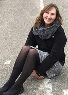
I am a geographer and a current GEOINT practitioner. My research interests include migration trends and techniques for creating effective spatial visualizations.
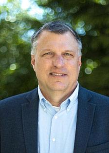
I teach from an analytical perspective and am interested in criminal intelligence analysis and geospatial intelligence, especially related to organized crime and terrorism.
I work at the intersection of cyber and geography. ICT items in the "cloud" have locations. Knowing where they are located varies and reflects other aspects of the human geography of the host country.
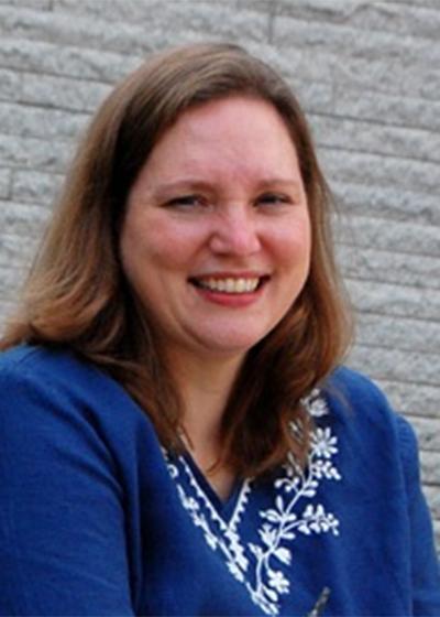
My expertise lies in building geospatial data and implementing analysis workflows that support GIS-based solutions for many industries, including government, utilities, and conservation.


