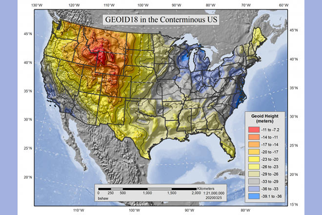
For students who work with spatial problems that require high-precision locational accuracy, this class will help you choose among the dizzying array of projections, datums, grid systems, and transformation processes to move between those systems to ensure spatial analysis and mapping work is accurate. Since GIS often involves merging multiple datasets, each of which is likely to be the product of a different projection and datum, GIS professionals need to be knowledgeable about these advanced topics to process geospatial data effectively for mapping and analysis.
At a Glance
Details
| Credits |
3.00
|
|---|---|
| Topics |
Applications in GIS
|
| Technologies |
ArcGIS Pro
Geocart
|
| Syllabus | GEOG 861 Sample Syllabus |
Meet Our Faculty Instructors
What Our Students Say
Every geospatial professional should take this class.
“As a lawyer who last took a math class in 1966, I was little hesitant to take a course which explores mathematical models of the Earth’s size and shape. I’m glad that I took the plunge and enrolled in the class. Every geospatial professional should take this class.”
— Robert M. Myers
I emerged from the course with a much deeper understanding.
“I had high expectations entering the course and I was not disappointed. Dr. Kessler's presentation of the course material brought clarity to what many would consider complex subject matter. I emerged from the course with a much deeper understanding of datums and spatial coordinate systems.”
— John David Kronicz