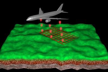
This course develops students' understanding of lidar systems' design, operation, data processing techniques, and product generation to address typical application scenarios faced by the geospatial professional.
At a Glance
Details
| Credits |
3.00
|
|---|---|
| Topics |
Applications in GIS
Remote Sensing and Image Analysis
|
| Technologies |
ArcGIS Pro
GeoCue LP360
|
| Syllabus | GEOG 481 Sample Syllabus |
| Open Educational Course Materials (OER) | Browse free materials for
GEOG 481
|
Upcoming Offerings
| Semester | Instructor |
|---|---|
| Summer 2026 | H. Karl Heidemann, B.S. |
| Fall 2, 2026 | H. Karl Heidemann, B.S. |
| Spring 2, 2027 | H. Karl Heidemann, B.S. |
| Summer 2027 | H. Karl Heidemann, B.S. |
Meet Our Faculty Instructors
What Our Students Say
I now feel confident about transitioning into a future remote sensing career.
“I was able to master the necessary software skills and scientific theory of lidar classification and mapping without having any background in the subject matter. Combined with the object-based image analysis methods I learned in GEOG 883, I now feel confident about transitioning into a future remote sensing career.”
— Ericka Lynn Kato
I found the flexibility in the final project particularly useful.
“GEOG 481 is beneficial if you are interested in developing knowledge in and skills for working with lidar point clouds with respect to applications in topographic mapping. I found the flexibility in the final class project particularly useful ... I used it as an opportunity to apply lessons learned to my proposed MGIS Capstone.”
— Cale Kochenour