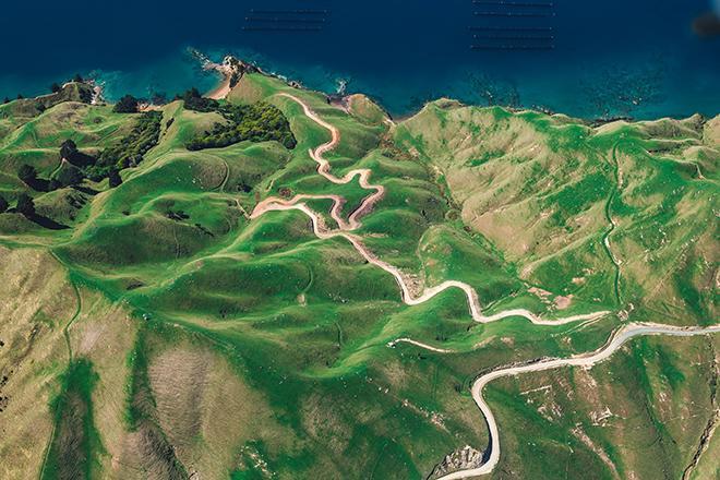
Exploring Imagery and Elevation Data in GIS Applications focuses on the use of remotely sensed imagery and elevation data in GIS applications. Students enrolling in GEOG 480 should have a solid conceptual foundation in geospatial information science and technology. This course is appropriate for those who are already working in the geospatial profession and wish to use imagery and elevation data in visualization and spatial analysis. Throughout the course, students confront realistic remote sensing problem scenarios that incorporate such skills and concepts as definition of data needs, metadata content standards, data formats and types, and analysis methods.
At a Glance
Details
| Credits |
3.00
|
|---|---|
| Topics |
Applications in GIS
Fundamentals of GIS and Mapmaking
Remote Sensing and Image Analysis
|
| Technologies |
ArcGIS Pro
|
| Syllabus | GEOG 480 Sample Syllabus |
| Open Educational Course Materials (OER) | Browse free materials for
GEOG 480
|
Upcoming Offerings
| Semester | Instructor |
|---|---|
| Spring 1, 2026 | Bradley Doorn, Ph.D. |
| Spring 2, 2026 | Brandi Gaertner, Ph.D. |
| Summer 2026 | Bradley Doorn, Ph.D. |
| Fall 1, 2026 | Bradley Doorn, Ph.D. |
| Fall 2, 2026 | Brandi Gaertner, Ph.D. |
Meet Our Faculty Instructors
What Our Students Say
Hands-on experience with the latest geospatial software.
“I was able to immerse myself in the fundamental theory of imagery and elevation science while gaining hands-on experience with the latest geospatial software and remote sensing workflows. The instruction and curriculum were great … !”
— Travis Meyer
Provided a solid foundation for success.
“GEOG 480 … provided a solid foundation for success in more advanced remote sensing courses, but also stood on its own by developing skills that could be applied immediately.”
— Bill Beuth