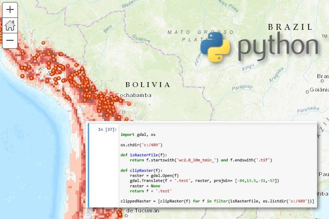
In GEOG 489, you will learn advanced applications of Python for developing and customizing GIS software, designing user interfaces, solving complex geoprocessing tasks, and leveraging open source. The course consists of readings, walkthroughs, projects, quizzes, and discussions about advanced GIS programming concepts and techniques, and a final term project. It complements the material covered in GEOG 485: GIS Programming and Customization. Software covered in the course includes: Esri ArcGIS Pro/arcpy, Jupyter Notebook, Esri ArcGIS API for Python, QGIS, GDAL/OGR. Students will also make use of the Git version control software for code management, and learn techniques for distributing Python applications to end users.
At a Glance
Details
| Credits |
3.00
|
|---|---|
| Topics |
Geospatial Programming and Software Development
|
| Technologies |
Anaconda
ArcGIS
ArcGIS Online
ArcGIS Pro
GDAL
Github
Jupyter
OGR
OpenStreetMap
Python
QGIS
R
|
| Syllabus | GEOG 489 Sample Syllabus |
| Open Educational Course Materials (OER) | Browse free materials for
GEOG 489
|
Upcoming Offerings
| Semester | Instructor |
|---|---|
| Spring 2, 2026 | Jeffrey Kling, MGIS |
| Summer 2026 | Jeffrey Kling, MGIS |
| Fall 2, 2026 | Rossana Grzinic, |
Meet Our Faculty Instructors

My interests lie in GIS development and utilizing various programming languages to create custom software and data ETL processes for both spatial and non-spatial applications.