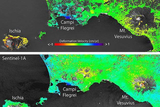
In this course you will encounter emerging tools, techniques, and sensors in the remote sensing industry, engaging with the scientific literature, guest lecturers from the remote sensing industry, and hands-on activities that focus on the state-of-the-art in remote sensing and image analysis. The focus for a given semester will be adapted based on emerging methods, technologies, and high-impact real-world contexts. Examples of the topics include bathymetric and waveform lidar, synthetic aperture radar, oblique aerial imagery, and Geiger-Mode lidar. You’ll have the chance to explore topics like these on a one-on-one basis with leaders in the profession while at the same time establishing a network of resources for staying ahead of future trends in remote sensing.
At a Glance
Details
| Credits |
3.00
|
|---|---|
| Topics |
Applications in GIS
Remote Sensing and Image Analysis
|
| Technologies |
ArcGIS Image for ArcGIS Online
ArcGIS Pro
Google Earth Engine
Javascript
Python
|
| Syllabus | GEOG 589 Sample Syllabus |
Upcoming Offerings
| Semester | Instructor |
|---|---|
| Spring 2, 2026 | Doug Miller, Ph.D. |
| Summer 2026 | Bradley Doorn, Ph.D. |
| Fall 2, 2026 | Bradley Doorn, Ph.D. |
Meet Our Faculty Instructors

I am dedicated to the application and advancement of geospatial technology, in the earth and environmental sciences, for the betterment of our society and our planet.