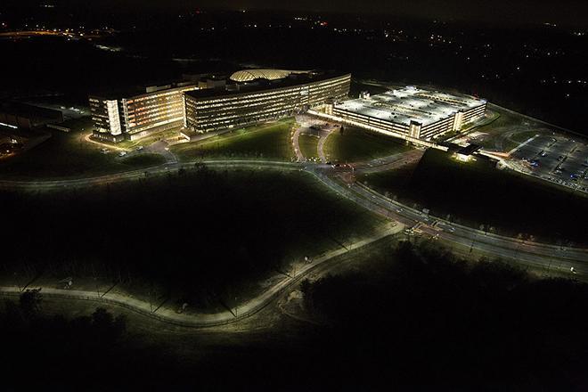
GEOG 885 explores the challenges and opportunities that arise from the fusion of human spatial analysis with computational techniques. The course is centered around the application of the technology and science of human-machine collaboration using geospatial artificial intelligence (GeoAI) in Geospatial Intelligence (GEOINT), as well as the ethical and professional considerations that must be considered in this rapidly advancing area. Students who complete this course will examine the use of Structured Analytic Techniques (SATs), automation methods, and GeoAI tools in concert to tackle problems in geospatial intelligence. They will evaluate the effectiveness of SATs to enhance the quality and precision of analysis. Additionally, participants will explore the application of automation, augmentation, and GeoAI tools in summarizing data and performing analytical tasks that have typically been the domain of human decision making. This course is open to students from all disciplines, and no prior technical knowledge is required.
At a Glance
Details
| Credits |
3.00
|
|---|---|
| Topics |
Applications in GIS
Geospatial Intelligence
|
| Technologies |
ArcGIS
ArcGIS Online
ArcGIS Story Maps
|
| Syllabus | GEOG 885 Sample Syllabus |
Upcoming Offerings
| Semester | Instructor |
|---|---|
| Spring 1, 2026 | Todd S. Bacastow, Ph.D. |
| Summer 2026 | David Jimenez, M.A., CICA, IFPC |
| Fall 1, 2026 | Leanne Sulewski, Ph.D. |
Meet Our Faculty Instructors
What Our Students Say
The most professionally relevant course I have taken with Penn State.
“GEOG 885 is the most professionally relevant course I have taken with Penn State. The material and assignments facilitate development of critical thinking skills and prepare students to utilize advanced analytic methods.”
— Roberta Becker, graduate student, Homeland Security (GEOINT)