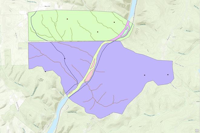
In GEOG 484, students will learn to integrate geographic data compiled from various sources. Students who successfully complete the course are able to specify and perform the tasks involved in creating a digital geographic database, including georeferencing scanned base maps, digitizing vector features, entering attribute data, and compiling metadata. Geography 484 requires use of Esri's ArcGIS software. Prerequisite: GEOG 483 or similar experience.
At a Glance
Details
| Credits |
3.00
|
|---|---|
| Topics |
Applications in GIS
Fundamentals of GIS and Mapmaking
|
| Technologies |
ArcGIS Pro
ModelBuilder
|
| Syllabus | GEOG 484 Sample Syllabus |
Upcoming Offerings
| Semester | Instructor |
|---|---|
| Spring 1, 2026 | Michelle Griffith Zeiders, M.S., GISP |
| Summer 2026 | |
| Fall 1, 2026 | Michelle Griffith Zeiders, M.S., GISP |
Meet Our Faculty Instructors
What Our Students Say
I use what I learned pretty much every day at work.
“GEOG 484 taught me an immediately-applicable skillset -- I use what I learned pretty much every day at work. The final project in GEOG 484 dealt with concepts that I encounter at least once a week, and because of its carefully-chosen and structured project parts, I find I am able to deal with many database issues when I encounter them “in the wild."”
— Kalan Contreras
Helped reinforce my foundational GIS knowledge.
“Penn State’s GIS Database Development course helped reinforce my foundational GIS knowledge and took my database structure and management skills to the next level. I was immediately able to take what I learned in class and apply it in my workplace.”
— Mike S.