Geospatial System Analysis and Design surveys the process of GIS design through critical reading/writing and collaborative discussion. Key topics in the course outline the broad range of current GIS systems, how they are designed and evaluated, and how emerging technologies may impact their design and implementation in the near future. In particular, students will develop a term-long project where they propose a realistic problem scenario that requires the skills and understanding required to effectively complete a geospatial system specification, design, and implementation. Students completing this course are able to develop a comprehensive system design plan that takes into account current technologies as well as emerging technology trends.
At a Glance
Details
| Credits |
3.00
|
|---|---|
| Topics |
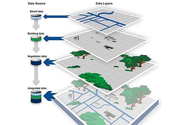
Applications in GIS
Fundamentals of GIS and Mapmaking
|
| Technologies |
Varies
|
| Syllabus | GEOG 583 Sample Syllabus |
| Open Educational Course Materials (OER) | Browse free materials for
GEOG 583
|
Upcoming Offerings
| Semester | Instructor |
|---|---|
| Summer 2026 | Brandi Gaertner, Ph.D. |
| Fall 1, 2026 | Brandi Gaertner, Ph.D. |
| Fall 2, 2026 | Ryan Baxter, Ph.D. |
| Spring 1, 2027 | Brandi Gaertner, Ph.D. |
| Spring 2, 2027 | Ryan Baxter, Ph.D. |
| Summer 2027 | Brandi Gaertner, Ph.D. |
Meet Our Faculty Instructors
What Our Students Say
Helped me consider and apply more effective GIS solutions on the job.
“Geospatial System Analysis and Design provided a framework for me to develop a fresh and informed approach to my project work. I have a broader and more in-depth perspective of GIS system and application principles. This course has helped me consider and apply more effective GIS solutions on the job.”
— Jackie Sinclair