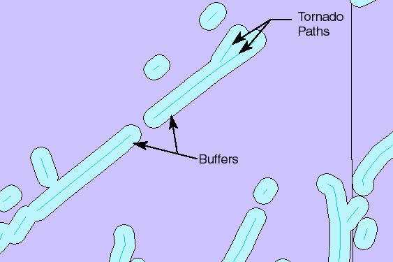
Geography 483 consists diverse assessments and student projects concerned with the ways in which geographic information systems facilitate data analysis and communication to address common geographic problems. Students who successfully complete the course are able to use GIS software to analyze both vector and raster data using a variety of techniques, including spatial and attribute queries, map overlay, and surface interpolation. Students also gain experience in designing and producing effective maps.
At a Glance
Details
| Credits |
3.00
|
|---|---|
| Topics |
Applications in GIS
Fundamentals of GIS and Mapmaking
|
| Technologies |
ArcGIS Online
ArcGIS Pro
ArcGIS Story Maps
|
| Syllabus | GEOG 483 Sample Syllabus |
Upcoming Offerings
| Semester | Instructor |
|---|---|
| Spring 1, 2026 | Beth King, M.Ed. |
| Spring 2, 2026 | Michelle Griffith Zeiders, M.S., GISP |
| Summer 2026 | |
| Fall 1, 2026 | Beth King, M.Ed. |
| Fall 2, 2026 | Michelle Griffith Zeiders, M.S., GISP |
Meet Our Faculty Instructors
What Our Students Say
This class has been a perfect addition to my program.
“GEOG483 is challenging and interesting. As a Master's in Earth Science student, this class has been a perfect addition to my program. It is empowering to gain skills and understanding to manipulate data layers and run analyses on applicable data with GIS!”
— Deb Freitas
After the lessons I learned from GEOG 483, I feel confident.
“As an Imagery Analyst at NGA, I would often seek out Geospatial Analysts for advice on how to properly represent data spatially within ArcGIS. However, after the lessons I learned from GEOG 483, I feel confident that I can manage these tasks on my own now.”
— Edward Caro