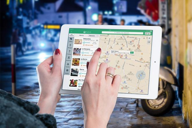
Locating restaurants in an unfamiliar place, reporting potholes to the local DOT, obtaining real-time traffic conditions...all of these are examples of geospatial web apps that are revolutionizing how people obtain and share information about the world. In GEOG 863, you will learn how to build apps like these. You'll start with a quick look at the fundamentals of web programming (HTML and CSS) before diving in to using JavaScript and a mapping application programming interface (API) developed by Esri. Using this API, you'll create both 2D and 3D visualizations of your own data and learn how to develop a user interface to enable users to interact with your map.
At a Glance
Details
| Credits |
3.00
|
|---|---|
| Topics |
Geospatial Programming and Software Development
|
| Technologies |
ArcGIS API for Javascript
ArcGIS Online
ArcGIS Web AppBuilder
CodePen
CSS
HTML
Javascript
Portal for ArcGIS
|
| Syllabus | GEOG 863 Sample Syllabus |
| Open Educational Course Materials (OER) | Browse free materials for
GEOG 863
|
Upcoming Offerings
| Semester | Instructor |
|---|---|
| Spring 1, 2026 | Jim Detwiler, M.S. |
| Summer 2026 | Jimmy Kroon, MGIS |
| Fall 1, 2026 | Jimmy Kroon, MGIS |
Meet Our Faculty Instructors

I am interested in expanding the use of GIS and other technologies, streamlining tasks through automation for efficiency and accuracy, and increasing data accessibility for non-GIS users.