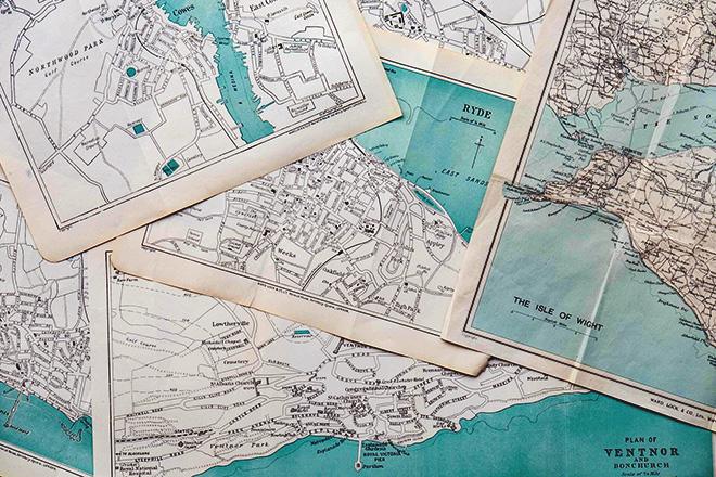
This course covers cartographic design principles and thematic mapmaking techniques. Students will create static and dynamic maps using contemporary tools, including ArcGIS Pro, Mapbox Studio, and Tableau. Students will engage in the cartographic design process through selecting visual variables, classifying and generalizing data, applying principles of color and contrast, and choosing map projections based on map audience and purpose. Students will also be introduced to niche topics such as augmented and virtual reality, interactive geovisualization and geovisual analytics, and decision-making with maps and mapping products.
At a Glance
Details
| Credits |
3.00
|
|---|---|
| Topics |
Applications in GIS
Fundamentals of GIS and Mapmaking
|
| Technologies |
ArcGIS Pro
Mapbox
Mapbox Studio
Tableau
|
| Syllabus | GEOG 486 Sample Syllabus |
| Open Educational Course Materials (OER) | Browse free materials for
GEOG 486
|
Upcoming Offerings
| Semester | Instructor |
|---|---|
| Spring 1, 2026 | Lydia Yoder, |
| Spring 2, 2026 | Fritz Kessler, Ph.D. |
| Summer 2026 | Alicia Iverson, M.S. |
| Fall 1, 2026 |
Meet Our Faculty Instructors

My research interests span far and wide, and cartography allows me the latitude to creatively engage with these interests with others. My passion work centers human—primarily children’s—experiences in the world.